Reality_logo

Games engine

Crafting a virtual world from real-world coordinates

INTRODUCING BIG DOTS
A Big Data game engine that combines data from open sources and user-generated content, dedicated to geolocation games and apps
How we valuate real world properties for mobile games?
Valuation of in-game properties is determined by a combination of factors including economy index, popularity, NASA light pollution, location rating, classification gauge and other metadata. These factors are modeled and calculated to provide an overall valuation for each property within the game.
image
How we keep data updated?
Our data update strategy revolves around leveraging user-generated content as the cornerstone. Through active player participation, we validate venue metadata in their vicinity, ensuring data accuracy. Augmenting this process, a sophisticated scoring model synthesizes player inputs to enhance data quality systematically, thus driving continuous improvement and upkeep of our database.
Ho we keep data updated image
AR Maps for next generation hardware

POI Data base

The Big Dots project aims to create a multidimensional global database of points of interest (POI) for next-gen AR games and applications. Innovations include adding a third dimension to POIs, new data collection methods, and multidimensionality. Crowdsourcing ensures credibility and freedom from obligations. Data verification strategies attract database providers. Geo Big Data cluster facilitates access with a natural language interface. Responding to high expectations, the project anticipates future AR technology needs.
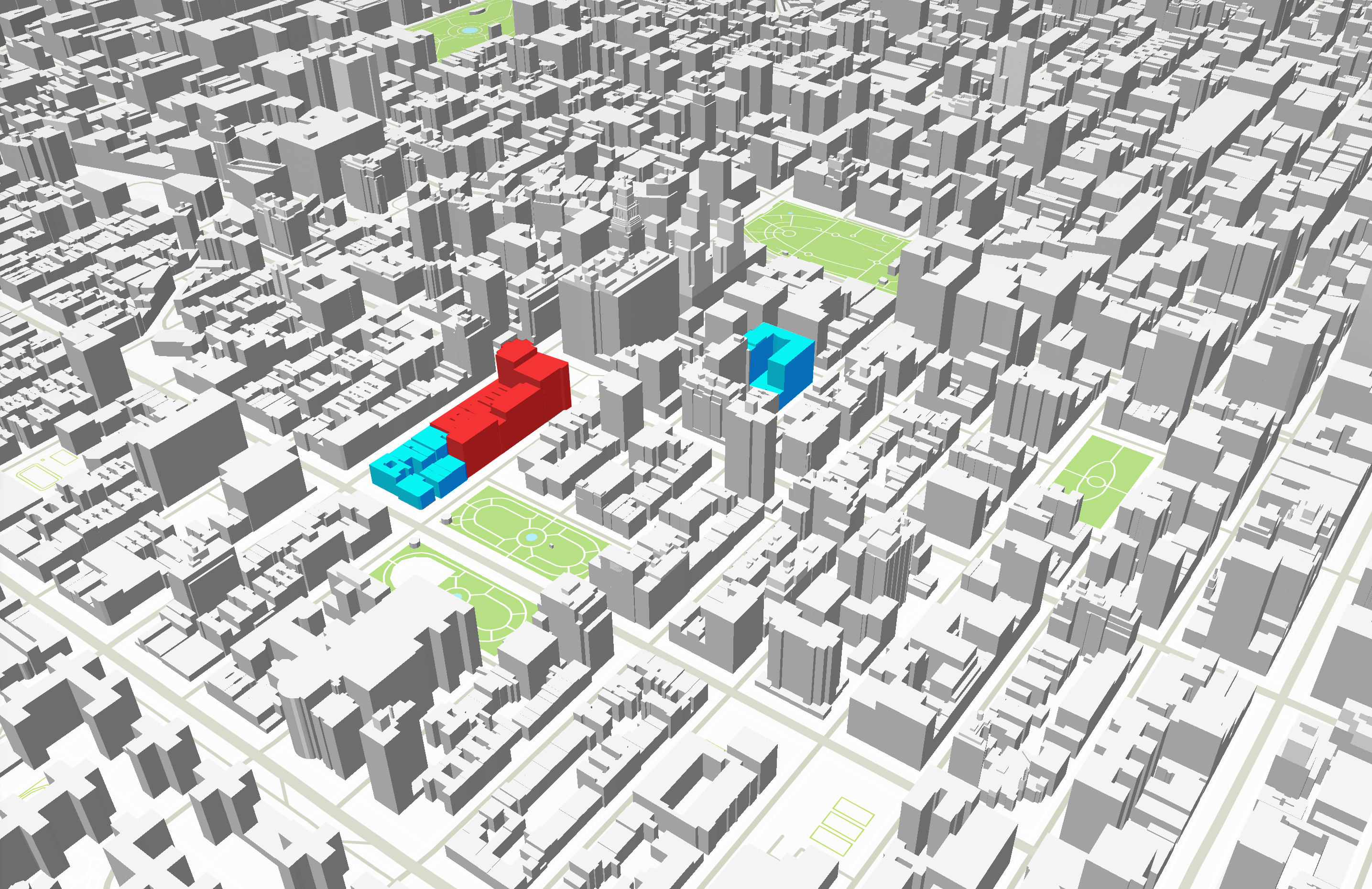
Ho we keep data updated image

3d Maps

Experience immersive Unity game environments with Reality Maps: 3D-rendered buildings, roads, and rivers with accurate details. POIs aggregated into buildings, extensive metadata available. Optimized rendering for dense cities, efficient data transfer with Google’s flat buffers. Smart sharding loads visible map areas first.

Ho we keep data updated image

AR Smart Layer

Reality Maps revolutionizes AR navigation: Seamlessly aligning with the real world, icons appear based on GPS, building height, land elevation, gyroscope, and compass data. Occlusion algorithms ensure clean display of POI information, enhancing your AR experience.

Ho we keep data updated image